|
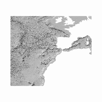
Width: 400 Height: 400 Extent:
YMin: 5.6863945916762475 XMax: 17.386604337503805 YMax: 65.17835311538386 Spatial Reference: 4326 (4326) Scale: 6.25757601630673E7 |
| ArcGIS REST Services Directory | Login | Get Token |
| Home > services > Geologia_Marina > GeologiaMarina_IGME_SombreadoFondo (MapServer) > export | Help | API Reference |
|
|
Width: 400 Height: 400 Extent:
YMin: 5.6863945916762475 XMax: 17.386604337503805 YMax: 65.17835311538386 Spatial Reference: 4326 (4326) Scale: 6.25757601630673E7 |